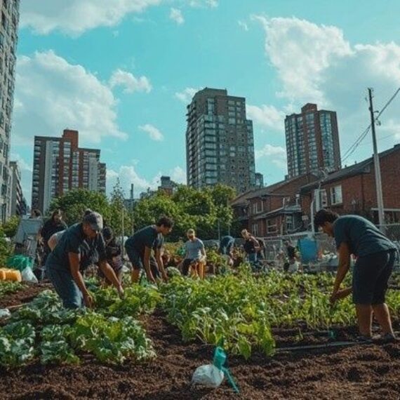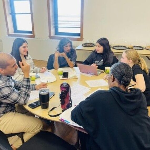



Transforming Dead Urban Ground into Resilient Community Commons
Vacant urban lots create a stubborn paradox. Blocks may lack safe green space, affordable fresh food, shade, and places for neighbors to meet, while parcels remain fenced, tax-delinquent, or simply ignored. The land appears available, but availability is not the same as legal access. A garden built on informal permission can be removed without notice, improvements can be lost, and volunteers can inherit liability they never understood.
The durable answer is to move beyond guerrilla gardening toward institutional tenure. A community group needs a documented right to occupy the parcel, a defined operating entity, a remediation plan, and insurance that protects both the organization and the people doing the work. Even a modest municipal garden lease can be the first step toward turning uncertain access into a recognized community asset. Lasting resilience depends on navigating policy, property titles, environmental rules, and liability structures with the same discipline used to manage any serious civic project.
Mapping Parcel Ownership and Navigating Municipal Bureaucracy
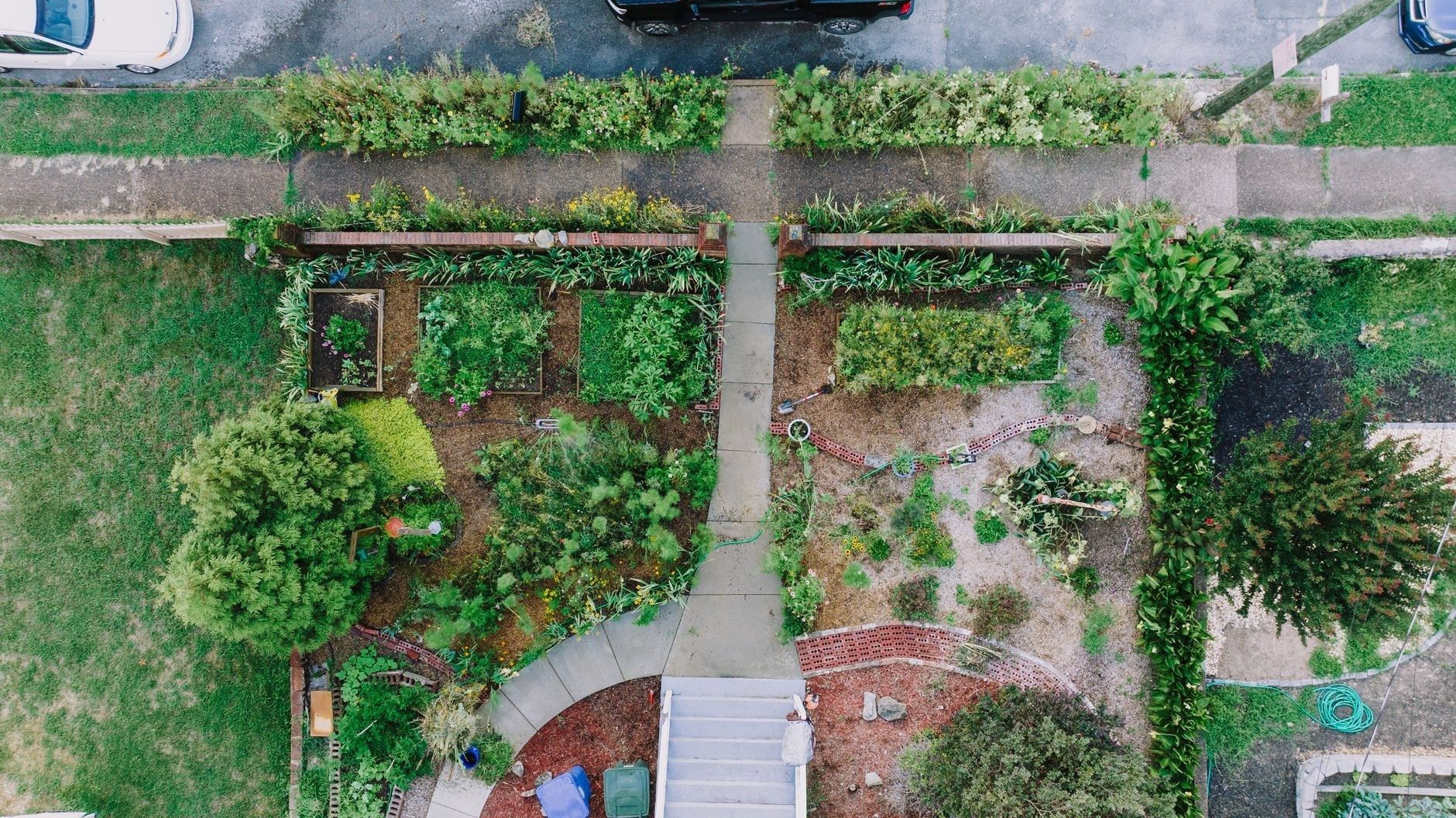
Cut through the noise by treating the parcel as a title and data problem before treating it as a gardening problem. Start with the street address, parcel identification number, legal description, zoning classification, assessed value, tax status, and recorded owner. City open-data portals and GIS layers can reveal ownership patterns, code violations, impervious surfaces, flood exposure, and nearby public infrastructure. County assessor and recorder registries remain essential because map layers can be outdated or omit liens, easements, probate issues, and ownership changes.
Do not assume every neglected lot has the same decision-maker. A tax-forfeited parcel may already be in municipal inventory. A land bank asset may have a separate application process, disposition policy, and development deadline. An absentee private owner may be reachable through a registered agent, tax mailing address, property manager, or lender. Each category creates different leverage and different risks. Students in a Buffalo urban planning practicum demonstrated the value of combining GIS with real-property records to identify vacant lots and evaluate nonprofit reuse options, a model that can be adapted by neighborhood coalitions.
- Build a parcel file. Record ownership, taxes, liens, zoning, code violations, prior uses, utilities, drainage, and every government contact.
- Verify authority. Confirm which office can lease, license, sell, or refer the parcel. A sympathetic staff member cannot substitute for the official decision-maker.
- Prepare a coalition pitch. Present the project as blight reduction, code compliance, storm-water management, food access, and measurable maintenance, not merely as a request for free land.
- Define the operational offer. State who will mow, remove trash, maintain paths, manage volunteers, report hazards, and restore the site if the agreement ends.
The strongest proposal reduces friction for the public owner. Municipal staff are more likely to support a project when the group supplies a site plan, insurance documentation, maintenance schedule, budget, and named point of contact. Frame the request around outcomes the city already has reason to value, including fewer nuisance complaints, lower mowing burdens, improved drainage, and visible stewardship. A coalition that includes a neighborhood association, food-security organization, environmental group, school, or university can also demonstrate capacity without pretending that enthusiasm alone resolves legal or technical concerns.
Securing the Site Through Interim-Use Leases and Land Bank Agreements
An interim-use lease or renewable license should convert a temporary experiment into a controlled, documented arrangement. The agreement must identify the precise parcel, permitted activities, structures, access routes, utilities, maintenance obligations, insurance requirements, indemnification terms, inspection rights, and restoration duties. Avoid relying on verbal assurances that a project will be protected because officials support it. Personnel change, budgets tighten, and priorities shift. The written agreement is the operational baseline.
Negotiate the terms that protect the project from sudden displacement. A multi-year term allows soil improvement, perennial planting, volunteer training, and grant compliance. A termination notice buffer gives the group time to harvest crops, relocate infrastructure, and notify residents. Water access rights can determine whether the site is viable, so specify hydrant use, metering, hose routes, storage, and responsibility for bills. Also address gates, fencing, tool sheds, compost systems, signage, and the ownership of improvements.
| Framework | Best use | Primary advantage | Key exposure |
|---|---|---|---|
| Short-term license | Testing a concept or activating a low-investment lot | Fast and flexible approval | Limited security and easy termination |
| Land bank disposition | Acquiring control of a strategic vacant parcel | Potential path to ownership or long-term control | Application, financing, development, and compliance demands |
| Long-term ground lease | Permanent gardens, farms, parks, or community facilities | Predictable tenure for capital improvements | Greater negotiation, reporting, insurance, and maintenance obligations |
| CLT ownership with site lease | Protecting land for community use across generations | Collective control and resistance to speculation | Requires a capable nonprofit, governance, funding, and legal administration |
Use the framework that matches the investment. Do not seek a 99-year structure for a pilot that has no operating budget, but do not accept a six-month license after investing in remediation, irrigation, and permanent paths. The negotiation principle is simple: the more money, labor, and ecological value the group contributes, the more tenure and notice it should request. If the public owner will not provide that security, reduce the investment, create portable improvements, or define a clear compensation and relocation process.
Protecting Collective Equity and Mitigating Risk Through Community Land Trusts
A Community Land Trust can move a successful project from vulnerable occupancy to collective land stewardship. The CLT, organized as a nonprofit, holds land for a community-defined purpose and grants use rights through long-term ground leases or other durable agreements. Because the land is not held by an individual operator seeking resale profit, the structure can protect a garden, farm, commercial kitchen, greenhouse, or public green hub from speculative pressure.
CLT governance is a form of practical risk allocation. A typical board balances the interests of people directly using the land, residents of the surrounding community, and public or mission-aligned representatives. That tripartite design prevents one stakeholder group from quietly capturing the asset while ensuring that users have a real voice. Community land trust models are commonly associated with permanently affordable housing, but they also support agriculture, commercial development, conservation, and other shared community assets.
- Separate land control from daily operations. The CLT can hold title while a farm, garden association, or nonprofit manages programming under a ground lease.
- Set mission-based use restrictions. The lease can reserve the parcel for food production, open space, education, conservation, or other approved purposes.
- Require transparent governance. Publish membership rules, board seats, conflict-of-interest procedures, budgets, and decision rights.
- Insure the real risks. Obtain comprehensive general liability coverage, volunteer accident protection where appropriate, directors and officers coverage, and endorsements for events, structures, vehicles, and agricultural activities.
- Document safety systems. Maintain training logs, incident reports, tool protocols, child-safety procedures, accessibility standards, and emergency contacts.
Liability cannot be solved by forming a CLT alone. The entity needs qualified legal advice, proper contracts, insurance review, and clear boundaries between the landowner, site operator, contractors, and volunteers. A public agency partnership also requires role discipline. The Bureau of Land Management”s stewardship guidance emphasizes defining responsibilities, ethical boundaries, communication practices, and professional advice when creating nonprofit partnerships. The same logic applies locally: clarify who controls land-management decisions, who authorizes improvements, who responds to hazards, and who carries the financial obligation.
Commercial and agricultural CLTs show why this model can preserve urban green hubs over generations. Resources from agricultural and commercial CLTs describe applications for farms, gardens, nonprofits, and community institutions, including the historic role of New Communities Inc. in protecting farmland. The key precedent is not a particular design but a durable principle: land held for community benefit should not depend on the goodwill or continued solvency of one project leader.
Low-Cost Soil Remediation and Biological Decontamination Protocols
Legal access does not make soil safe. Former industrial parcels, railyards, auto-repair sites, demolition areas, and older residential blocks may contain lead, arsenic, petroleum compounds, or polycyclic aromatic hydrocarbons. Begin with a historical review, a site walk, and a baseline environmental assessment before planting food. The assessment should consider former uses, fill material, ash, painted structures, drainage, dust pathways, and likely exposure points. Nature-based redevelopment guidance from the Center for Community Land Reclamation stresses that investigation, hazard mapping, testing, and community engagement must precede design decisions.
- Divide the parcel into sampling zones. Sample areas separately when history, fill, staining, vegetation, or elevation changes. Include likely garden beds, play areas, paths, and bare-soil gathering spaces.
- Use appropriate depth and laboratory methods. Collect representative surface samples from exposure zones and deeper samples where excavation or root growth is planned. Use an accredited laboratory and request analytes that match the site history, including lead, arsenic, petroleum compounds, and PAHs.
- Interpret results by exposure pathway. A concentration in soil is not the same as a completed exposure. Consider ingestion, inhalation of dust, skin contact, and uptake by edible crops, then obtain advice from environmental health professionals.
- Choose controls that can be maintained. Cap contaminated soil, install clean growing media, block contact, manage runoff, and record the location and thickness of every protective layer.
- Monitor and communicate. Keep test results, maintenance records, signage, and replacement schedules. Recheck areas after flooding, excavation, erosion, or major construction.
Physical controls are often the most reliable low-cost first response. Raised beds lined or isolated from native soil, clean imported soil, geotextile or root-zone barriers, thick compost layers, mulched paths, and vegetation cover can reduce direct contact and dust movement. Capping is only effective when it remains intact. A thin layer of compost is not a substitute for a designed barrier, and compost can change contaminant chemistry without eliminating the contaminant. Research and practice from Kansas State University”s Soil and Environmental Chemistry group focus on lead bioaccessibility, amended soils, urban brownfields, and vacant-lot remediation, underscoring the need to distinguish total contaminant levels from actual exposure risk.
Biological methods can complement, but should not replace, testing and exposure controls. Phytoremediation may use selected plants to stabilize or take up contaminants, while mycoremediation uses fungi and organic substrates to help transform certain hydrocarbons. Compost, biochar, bioswales, rain gardens, and constructed wetlands can support soil function and manage storm water, particularly when designed with professional guidance. Heavy metals are not destroyed by plants or fungi; they are moved, immobilized, or concentrated, which creates a disposal and monitoring obligation. Never place edible crops into a remediation zone until testing confirms that the selected use is appropriate.
Anchor Your Community Sovereignty in Permanent Ground
The organizing playbook is unified, not sequential by accident. Ownership research identifies the real decision-maker. A lease or disposition agreement establishes lawful access. A CLT or similarly durable entity protects collective equity. Environmental testing and engineered controls protect health. Governance, insurance, maintenance, and monitoring protect the project when the original founders are no longer available. Each layer reduces a different category of downside.
The returns compound over time. Stewarded lots can reduce bare-soil exposure, improve shade and storm-water infiltration, support food access, create outdoor education, and give residents a credible place to solve problems together. The benefits are not automatic. They require measurable maintenance, clear authority, recurring funding, and honest communication about contamination and tenure. Name the leverage, define the walk-away point, and move every conversation toward a documented decision.
- Choose one parcel and create a complete ownership and tax-status file.
- Recruit a small coalition with legal, environmental, maintenance, and neighborhood credibility.
- Request the correct municipal or land bank process in writing.
- Submit a site plan that includes access, water, insurance, safety, and restoration responsibilities.
- Negotiate term length, termination notice, water rights, improvements, and liability before spending heavily.
- Arrange baseline soil testing and keep food production separate from unverified soil.
- Set a public meeting date, publish the decision timeline, and assign named owners to every next action.